Main Page
SIGNING IN
SIGN IN / SIGN UP
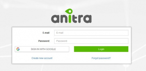
- Login / Sign up screen of ANITRA platform available at https://anitra.cz/app
- Once registered you can log in with your username and password or by using "Sign in with Google" functionality
- You can also reset your password by "forget password ?" link if needed
SIGN UP
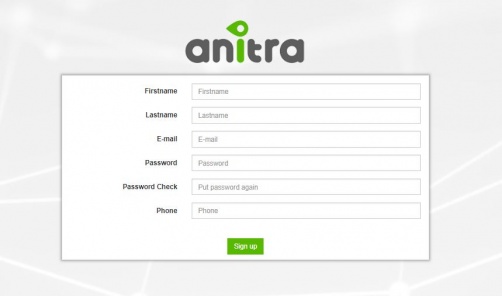
- Use "Create new account" link to auto-register yourself as a new platform user
- use a valid email address as your future username
- upon completion, an email with account confirmation link be sent to your inbox
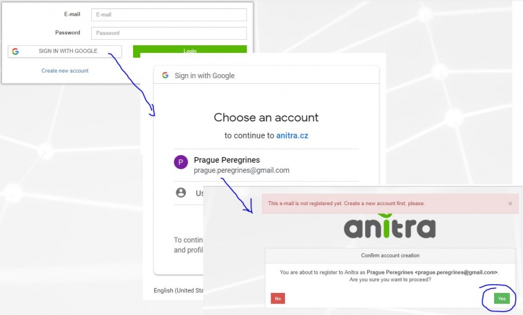
- note that you can also create a new account by using "SIGN IN WITH GOOGLE" button.
- this flow will link a newly created account with a chosen google account (you will not need to type user name+pass)
USER PROFILE
- Change of user password through user profile page
- Manage linked Google Account(s)
- "Sign in with Google" functionality available (once linked to a google account, you do not need to type user name+pass)
AREAS OF FUNCTIONALITY
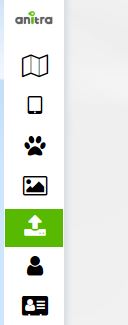
(also indicated by menu icons on the left side):
- Map view
- Device list
- Device profiles
- Tracked Object list
- Tracked Object profiles
- Photo Gallery
- Import Data
- Customers
- above functionality available for users acting as Data Owners or Admins
- a minor subset of the functionality available to those who only receive data through Sharing scheme
- each user can act in both modes at the same time
- as data Owner for some data(=devices) … the full functionality available including admin functionality per owned devices
- as a passive user of data shared by someone else … only predefined data view is available
MAP
- a tool to analyze multiple Individuals in a single map
Note: functionality is gradually extended and elaborated significantly at the moment
- allows seeing all the Tracked Objects (birds) available to the user in one map (both owned/administered and shared only)
- by default displays last known position for all tracked individuals (color of points categorize last data update)
- filtering functionality below the map optionally limits map data and left selection list by
- Species
- Last "X" Days
- Tracking Status
- Country of Tagging
- Current Age
- Left side selection and/or map tooltips allows picking one or more individuals to analyze detailed tracking data in parallel ("Load selected" button)
- Note that "Days filter" filters period for loaded full tracks (i.e. Last 50 days selection will load tracks for the last 50 day for all the chosen Tracked Objects)
- Mortality Indicated by black/red symbols in Tracked Object left side selection
<figure-inline>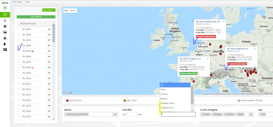 </figure-inline>
- Other map functionality
- map/track options
- Clusters
- Arrows (=direction)
- Points
- Tracks
- Full-screen view
- click through to particular Tracked Object profile (mouse double click in the same tab or open in a new tab by mouse wheel button)
- map/track options
- different color auto-assigned to each TO (possible to override in the TO profile)
- Track point details in the tooltip for one (or more) track points
- "Share" button available for admins
DEVICE LIST
DEVICE PROFILE
DEVICE CONFIGURATION
TRACKED OBJECT LIST
TRACKED OBJECT PROFILE
PHOTO GALLERY
IMPORT DATA
CUSTOMERS AND INTEGRATION
